Nightlights, Contours, and Rgooglemap
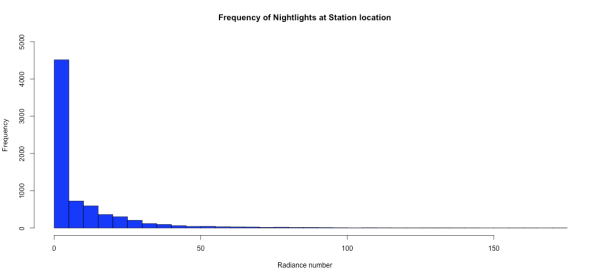
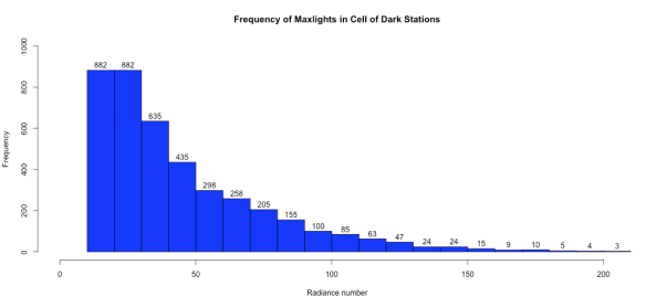
I am continuing the investigation of nightlights using some additional packages from Cran. Here we add Rgooglemaps to the mix. Rgooglemaps is a neat tool that gives you a simple ( needs better docs) interface to the static map server. Perhaps, I’ll modify the code to my likeing, so For now I use it as delivered. Lets recap the issue. Station positions ( Lat lon) from GHCN inventory are not precise. Consequently, the nightlights you read may not be accurate. To show that I’ve collected stations where the Lat/Lon of the station is Dark, but where the surrounding area ( radius of about 55km) contains urban stations. First off some basic stats:
Next, we look for those stations that have no urban lights within a 55km radius. Rural cells, as I term it:
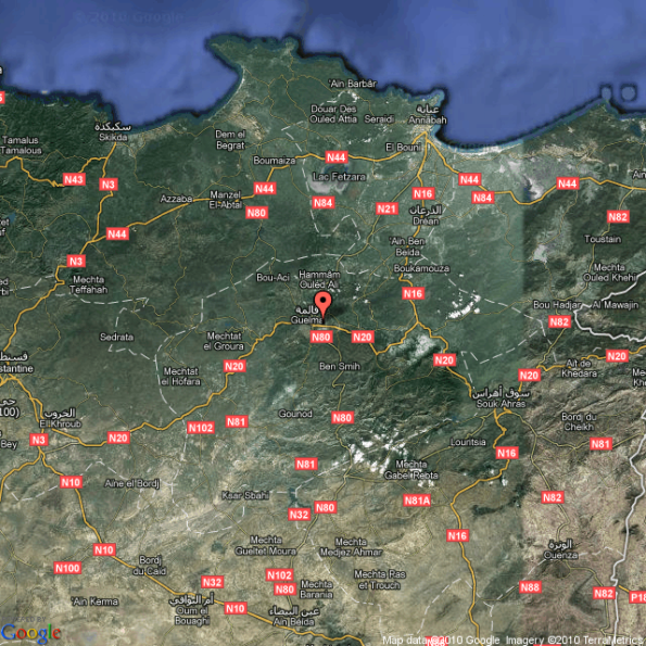
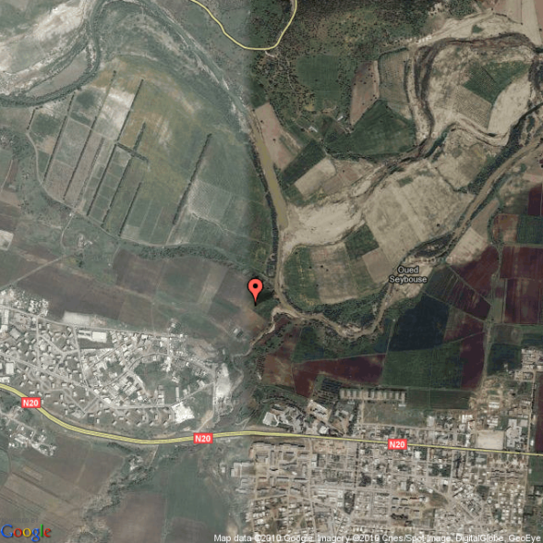
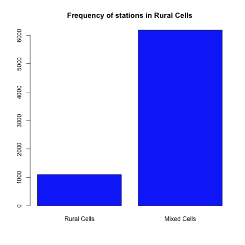 And then we look at the mixed cells. Cells where the station lat/lon is dark, but urban lights are in the “hood” Recall that “rural is defined as a DN ( radiance number) of less than 10. What we see is that within the “mixed” cells we have situations were the rural location is close to urban locations. And the question is “how close” and is the station really at the location in the inventory or is it really in a close by urban site.
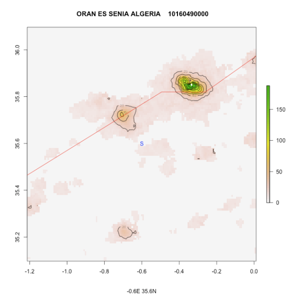
At this stage the work is exploratory, getting tools together and refining an analysis approach. One issue is the registration of nightlights. More on that later, lets just look at some charts: A nightlights contour, “S” marks the station spot.
Hi Steve:
Thank you very much for this very interesting series. A simple but high resolution source of population distribution has been on my low priority wish-list for a while now.
I am really blown away by your latest post — the Google overlays are too cool. I think I found some good examples of the geocoding errors by looking at the lights from the Boston area including Cape Code and the islands: http://jeffreybreen.wordpress.com/2010/10/14/nightlights-geocoding/
Thanks again!
Jeffrey